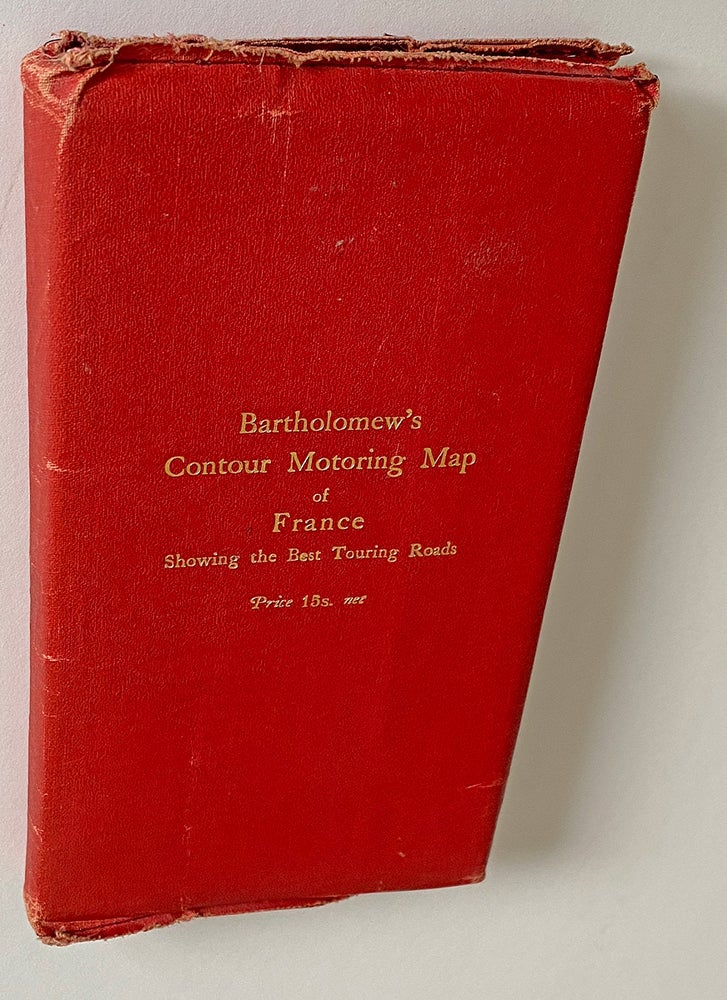
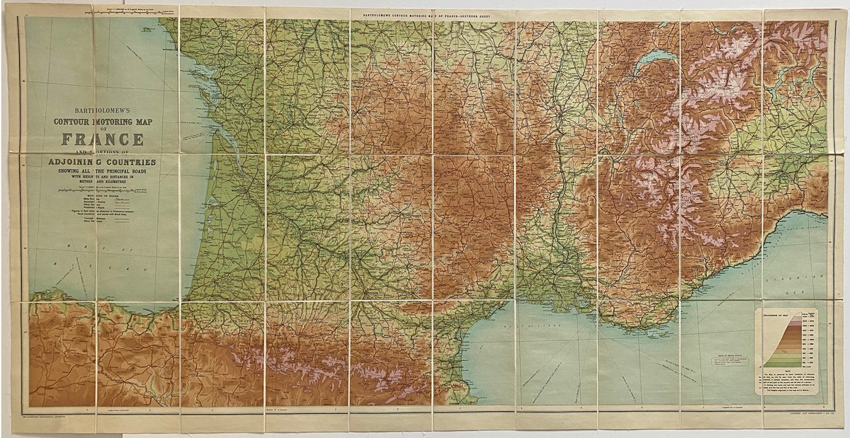
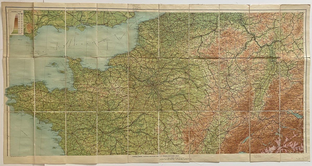
Bartholomew's Contour Motoring Map of France and Portions of Adjoining Countries Showing all the Principle Roads
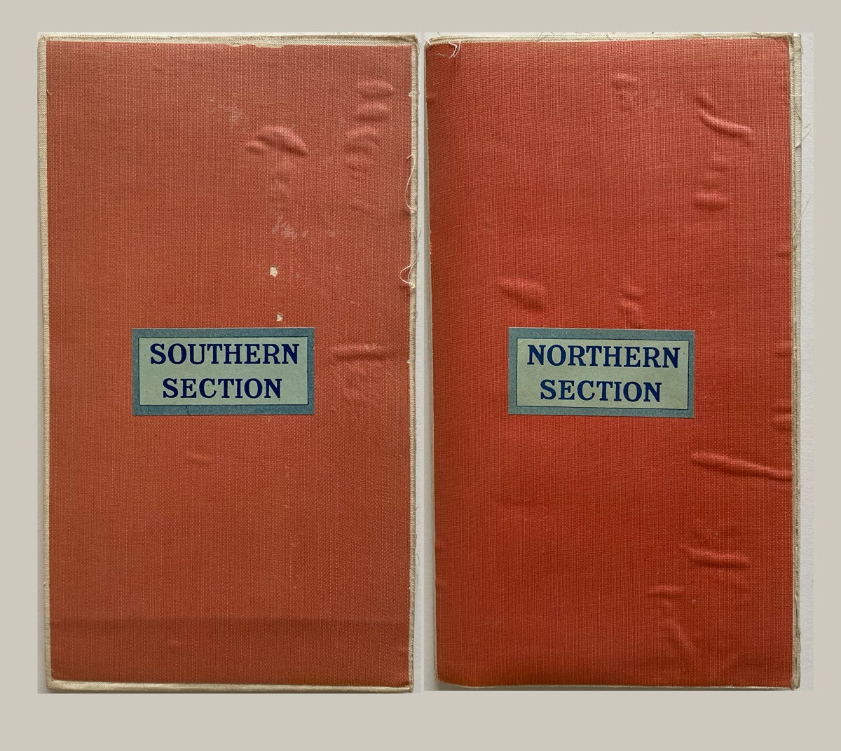
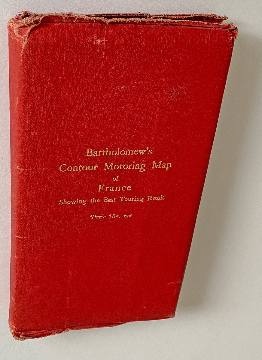
Edinburgh: Bartholomew & Son Ltd., [1925]. Paperback. [Map title] Two linen backed folding colour maps with printed red cloth folder. Both maps scaled at 1:1,000,000 or 16 English miles to 1 inch, consisting of a Northern sheet and a Southern sheet - both with relief in gradient tints giving spot heights in metres, international and administrative boundaries, railways, roads (4 categories), ferry routes, etc. Northern sheet w. a few ink and pencil notations, folder with edge wear and a partial split on one flap edge. At Least Very Good. Item #3962
Interesting to note that the Southern sheet has a red printed warning stating "Note to Swiss Roads / Several of the open roads in Switzerland, are available for motor traffic, only on certain days and between certain hours." Cover title "Bartholomew's Contour Motoring Map of France Showing the Best Touring Roads" and with "Price 15s, net" stamped in gilt onto of upper cover of folder.
Price: $125.00 CAD other currencies