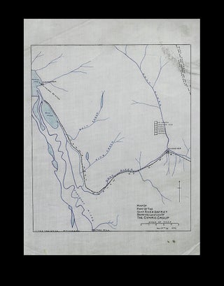
Map of Part of the Goat River District Showing Location of the Cymric Group - 1899
1899. Loose Map. An historic hand-colored map on linen, showing six early mining claims in south east British Columbia. Pen and ink with wash color on coated drafting linen, "Nov. 25th 99" and "E.C.H." at bottom right "International Boundary" written at lower left, map measures 9-1/8 inches tall x 7-3/4..... More